Sorry, your browser is not compatible with this application. Please use the latest version of Google Chrome, Mozilla Firefox, Microsoft Edge or Safari.
Remote Sensing for Geohazard Resilience
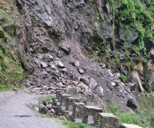
Landslides are a serious global geologic hazard. It is estimated that in the U.S., landslides cause more than $1 billion in damages and 25 to 50 deaths each year. As part of the US Department of Homeland Security Science and Technology Directorate’s Community and Infrastructure Resilience program, the remote sensing for geohazard resilience project will identify actively deforming hill slopes based on past deformation trends and develop novel methods to predict hill slope deformations for short-term forecasts.

| Format: |
|
| Topics: | |
| Website: | Visit Publisher Website |
| Publisher: | Department of Homeland Security (DHS) |
| Published: | June 24, 2024 |
| License: | Public Domain |
Featured Content

Contact Publisher


Claim Content


