
Sorry, your browser is not compatible with this application. Please use the latest version of Google Chrome, Mozilla Firefox, Microsoft Edge or Safari.
Increasing Productivity With Operations Management and GIS
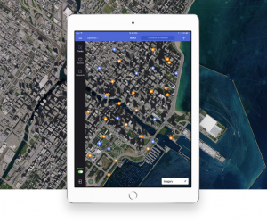
Think back to a time before smartphones. You carried a mobile phone to communicate and a paper map to navigate. Now you can make your calls and get your directions on one high-powered device. In a similar way, there was a time when operations management and GIS existed on separate platforms. Now, they can work together seamlessly, multiplying the effectiveness of each other.
Limited budgets and the rapid pace of 21st century digital change make it difficult for local governments to keep up, let alone stay ahead of the curve. But, the importance of connecting enterprise technologies is widely acknowledged—and grows wider by the day.
Any asset management approach that relies solely on operations management or GIS will soon be obsolete. The goal of this paper is to help you understand why pairing operations management and GIS systems together is the most effective, efficient, and productive way to manage the day-to-day operations of high-performance government.
Interested in asset management? Check out this GovWhitePapers blog post! You can also find events on asset management on our sister site, GovEvents.


| Format: |
|
| Topics: | |
| Website: | Visit Publisher Website |
| Publisher: | Cartegraph |
| Published: | June 1, 2020 |
| License: | Copyrighted |
| Copyright: | © 2020 Cartegraph Systems, Inc. All rights reserved. |
Featured Content
Contact Publisher

Claim Content