Sorry, your browser is not compatible with this application. Please use the latest version of Google Chrome, Mozilla Firefox, Microsoft Edge or Safari.
Your Autopilot Can Make or Break Your Next Project
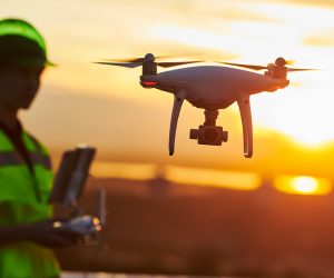
Over the past few years, there has been a tremendous increase in the use of unmanned aircraft systems (UAS), otherwise known as “drones”, in land surveying applications. This is arguably the most disruptive technology introduced to the Geographic Information Systems (GIS) industry since GPS. Significant advances in UAS capabilities and in photogrammetry software have significantly reduced the barrier to generating digital surface models (DSM) and orthomosaics from georeferenced aerial imagery.

| Format: |
|
| Topics: | |
| Website: | Visit Publisher Website |
| Publisher: | Black Swift Technologies |
| Published: | November 1, 2020 |
| License: | Copyrighted |
| Copyright: | © 2021 Black Swift Technologies, LLC. All Rights Reserved |
Featured Content

Contact Publisher


Claim Content


